ODIONGAN MY HOME
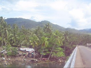
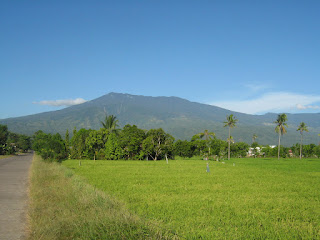
Odiongan is an old settlement datring porobably to the 15th century. THe Recollect missionaries were here in the 17th century but left no major buildings as proof. They just established a chapel and left after a few years, may be due to the hostility of the natives. Old Spanish maps indicate it as Oyungan. Odiongan is named after the large sea shell called locally as bodyong. The shell is made into a bodyong or improvised horn to call members of the tribe for a meeting with the Datu. The Datu is a tribal leader who oversees the affairs of the tribe. Datu Odyong was one such legendary figure after which Odiongan was named after. Odiongan River is also the largest river in Gingoog City. It may also be the longest. Its source is at Mt. Lumot, near Mt. Balatukan. The mouth of Odiongan River was once a thriving community of fishermen, Boholano and Chines traders. In the olden times ceremonies were conducted by Baylan to appease the spirit of the river, which claims lives every year. Food an...